Liberalised geospatial policy & space-based remote sensing policies to do wonders for country
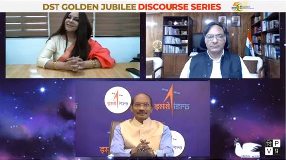
Secretary, Department of Space and Chairman, Space Commission Dr. K Sivan, underlined that liberalising geospatial data policy will benefit every sector and reach these benefits to every nook and corner of the country at the Golden Jubilee Discourse Series of the Department of Science and Technology (DST).
“The new set of guidelines that have liberalised geospatial data is a bold move and path-breaking step and would open up vistas in diverse sectors,” Dr Sivan said at a lecture titled ‘Unlocking India’s Space Potential. Geospatial Data and Mapping,’ organised at part of the discourse series by National Council for Science & Technology Communication (NCSTC) and Vigyan Prasar recently.
He added that space-based remote sensing policy along with liberalised geospatial policy is going to do wonders for the country bringing new avenues and would play a great role in making country ‘Atmanirbhar’.
“Geospatial data is required for all the development works in all sectors, and it plays a critical role in governance and is well aligned with Atmanirbhar Bharat,” said Dr. Sivan.
“We are self-sufficient in space technology. India is the first country to use space programmes for domestic programmes, and our focus has been on producing indigenous, cost-effective technologies. But demand is increasing, and to unlock India’s space possibilities, participation of price sector has become necessary,” Dr Sivan pointed out.
Secretary, DST Prof Ashutosh Sharma, said that the overall impact of liberalisation of geospatial policy on the economy would be enormous, and apart from creating One lakh crore rupees economy in geospatial sectors, there would be indirect impact in various other sectors leading to creation of millions of job in various sectors in the future.
“Agriculture sector, one of the central sectors, is going to immensely benefit from it, and Swamitwa scheme is going to empower rural population and economy and help in solving land disputes that are going on for years,” Professor Sharma stressed.
Prof Sharma said that geospatial guidelines will stimulate and empower Indian industry and surveying agencies without diluting security concerns.
Announcing the liberalised guidelines for geo-spatial data on February 15, 2021, Union Minister for Science & Technology, Earth Sciences and Health & Family Welfare, Dr. Harsh Vardhan had said, “All geospatial data produced using public funds, except classified geospatial data collected by security/law enforcement agencies, will be made accessible for scientific, economic and developmental purposes to all Indian Entities and without any restrictions on their use. Government agencies and others need to collaborate and work towards openlinked geospatial data”. “Stakeholders benefitted will include practically every segment of society, from industry to academia to government departments”, he emphasised. This is a transformative reform, the Minister added.
The Government has recently announced liberalised guidelines for geo-spatial data and formulating a new space-based remote sensing policy to enable enhanced participation of the Indian industry and ease of data access with simplified procedures. The guidelines drafted by the DST for geospatial data will bring sweeping changes to India’s mapping policy, specifically for Indian companies. The new space-based remote sensing policy guidelines by Department of Space aims at encouraging various stakeholders in the country to actively participate in space-based remote sensing activities to enhance commercialisation of space technology.
****
SS/KGS/RP/(DST Media Cell)