Ministry of Science & Technology
Survey of India’s National Geo Platform – Spatially Enabling Digital India
प्रविष्टि तिथि:
01 NOV 2025 8:08PM by PIB Delhi
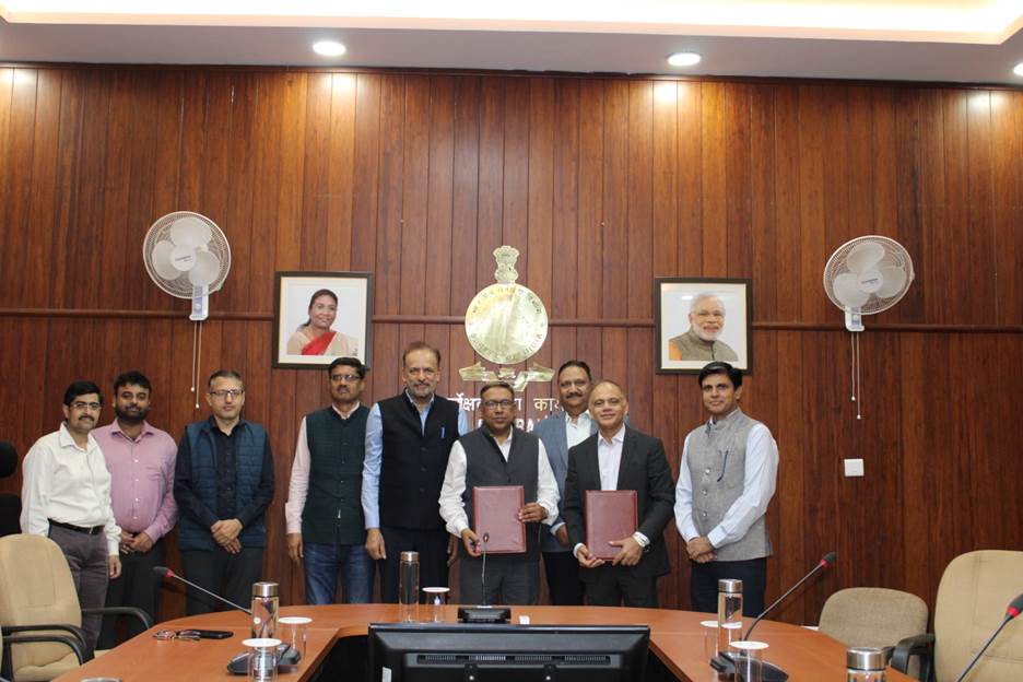
In a major initiative to strengthen India’s National Geospatial Ecosystem and implement the vision of the National Geospatial Policy, 2022, Survey of India (SoI), Government of India, has entered into an agreement with C.E. Info Systems Pvt. Ltd. for the development of a state-of-the-art National Geo-Spatial Platform. The platform will serve as a unified digital infrastructure for aggregating, harmonizing and disseminating authentic and accurate foundational geospatial data & services to support governance, research, industry, and citizen-centric applications across the country. This initiative marks a major milestone in India’s efforts to build an integrated and collaborative ecosystem for geospatial data dissemination.
The National Geo-Platform will serve as a robust and scalable system for standardizing, sharing, and managing foundational geospatial datasets — including Ortho-Rectified Imagery, Digital Elevation Models (DEM), Administrative Boundaries, Geodetic Reference Frame, and Geographical Names. It will facilitate seamless access to accurate and authoritative spatial data through web services, APIs, and mobile applications, promoting data interoperability and collaboration among Central Government Ministries/Departments, academia, and industry and fostering innovation and sustainable development. Key components of the platform include a Geospatial Data integration & dissemination System, Integrated Geospatial Application Interface (IGAI), and a Spatial Data Registry (SDR) for metadata management.
This collaboration underscores the Survey of India’s continuing leadership as the nodal agency for foundational geospatial data and reinforces the Government’s commitment to promote a data-driven, spatially enabled economy which would contribute to India’s progress and prosperity.
*****
NKR/AK
(रिलीज़ आईडी: 2185319)
आगंतुक पटल : 2966